News Summary
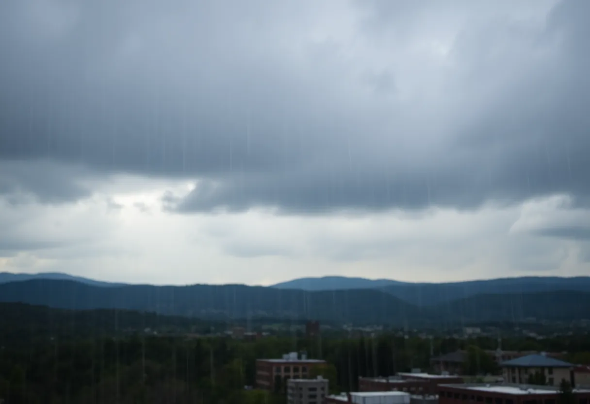
Asheville and Western North Carolina are gearing up for a wet weekend, with the National Weather Service warning residents of hazardous weather conditions. Showers and thunderstorms are expected to begin Friday afternoon, increasing in intensity and posing risks of flash flooding. The community is advised to stay alert and prepared as heavy rainfall could lead to serious impacts in the region.
Asheville Prepares for Heavy Rain and Thunderstorms This Weekend
Asheville and Western North Carolina residents should brace for a rainy start to the weekend, as the National Weather Service (NWS) has issued a hazardous weather outlook due to expected showers and thunderstorms. The alert was released at 4:09 a.m. on Friday, June 13, warning of potential flash flooding from heavy downpours.
Heavy rain and thunderstorms are anticipated to develop later in the afternoon on June 13, with conditions worsening into the night. Forecasts indicate that isolated flash flooding could occur due to the intensity and duration of rainfall, which can lead to serious damage in the area. Factors such as soil saturation, ground cover, and the region’s topography are expected to influence the severity of the flash floods.
Forecast Details for the Weekend
Friday, June 13
- High near 79 degrees.
- 80% chance of precipitation.
- New rainfall amounts expected to be less than 0.1 inches, with higher totals possible in thunderstorm areas.
Friday Night
- Showers and thunderstorms likely before 11 p.m., with possible thunderstorms after 4 a.m.
- Low temperatures around 66 degrees and an 80% chance of precipitation.
- Expected rainfall amounts between 0.25 and 0.5 inches.
Saturday, June 14
- High near 81 degrees.
- Patchy fog is anticipated before 10 a.m.
- There is an 80% chance of precipitation with new rainfall forecasted between 0.25 and 0.5 inches in thunderstorms.
Saturday Night
- Showers and thunderstorms likely before 11 p.m., with lows around 66 degrees.
- 80% chance of precipitation persists into the night.
Sunday, June 15
- High temperature reaching around 83 degrees.
- Showers likely before 2 p.m. and intermittent rain between 2 p.m. to 3 p.m.
- Overnight rain expected before 3 a.m., followed by a slight chance of continued showers.
- Low temperatures about 66 degrees with an 80% chance of precipitation.
Concerns and Recommendations
The NWS cautions that flash floods can develop quickly, within minutes or hours of heavy rainfall. Residents are urged to stay alert, especially during thunderstorms. Areas prone to flooding may see rolling boulders, uprooted trees, or damage to structures due to rapid water flow. Precautionary measures might include avoiding unnecessary travel during heavy rain and staying informed about weather updates.
Background on Flash Flooding in the Region
Flash flooding is a serious risk in Western North Carolina, particularly during periods of heavy rain from slow-moving thunderstorms. The NWS points out that hurricanes or tropical storms can also contribute to these dangerous weather conditions. Residents in the area should be prepared for sudden changes in their environment and maintain awareness of local weather alerts.
While Saturday is expected to bring hazardous conditions, weather forecasts indicate that no additional hazardous weather is anticipated beyond the initial rain on Friday. Residents are encouraged to stay informed and take necessary precautions throughout the weekend as the weather unfolds.
Deeper Dive: News & Info About This Topic
HERE Resources
U.S. Army Celebrates 250th Anniversary with Grand Festivities
Tragic Flash Flooding Claims More Lives in San Antonio
Asheville Community Unites Against Immigration Policies
Asheville Man Fatally Ejected from Jeep in Crash
North Carolina Fire Departments Enhance Community Safety with Smoke Alarm Saturday
Asheville’s Resilient Culinary Landscape After Hurricane Helene
Michigan Faces Air Quality Advisory Due to Canadian Wildfires
NCEI Prepares for 2025 Hurricane Season in Asheville
Multiple Vehicle Collisions Halt Traffic on I-26 in Henderson County
Asheville on the Road to Recovery After Hurricane Helene
Additional Resources

Author: STAFF HERE ASHEVILLE WRITER
The ASHEVILLE STAFF WRITER represents the experienced team at HEREAsheville.com, your go-to source for actionable local news and information in Asheville, Buncombe County, and beyond. Specializing in "news you can use," we cover essential topics like product reviews for personal and business needs, local business directories, politics, real estate trends, neighborhood insights, and state news affecting the area—with deep expertise drawn from years of dedicated reporting and strong community input, including local press releases and business updates. We deliver top reporting on high-value events such as the Asheville Bread Festival, LEAF Festival, and mountain sports tournaments at Biltmore Estate. Our coverage extends to key organizations like the Asheville Area Chamber of Commerce and Explore Asheville Convention & Visitors Bureau, plus leading businesses in hospitality and brewing that power the local economy such as the Biltmore Estate and Sierra Nevada Brewing Company. As part of the broader HERE network, including HERECharlotte.com, HEREGreensboro.com, HERERaleigh.com, and HEREOBX.com, we provide comprehensive, credible insights into North Carolina's dynamic landscape.