News Summary
Severe storms are forecasted to hit western North Carolina starting at 11 p.m. on Tuesday, with risks of damaging winds, large hail, and isolated tornadoes. Residents are advised to prepare for potential hazards as the storms move in from the west, impacting areas including Asheville. The system could bring significant rainfall and flash flood threats, following recent severe weather in other parts of the Southeast. Vigilance and preparedness are crucial as meteorologists provide ongoing updates.
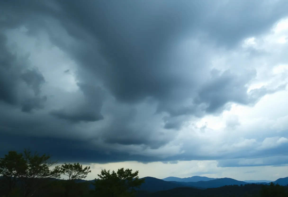
Asheville, North Carolina – Severe storms are anticipated across western North Carolina beginning at 11 p.m. on Tuesday and lasting until approximately 5 a.m. on Wednesday. Residents are urged to prepare for conditions that may lead to damaging winds, large hail, and isolated tornadoes as these storms move in from the west.
A strong cold front is expected to trigger severe weather on Tuesday afternoon across multiple states, including Tennessee, Kentucky, Mississippi, Alabama, and Georgia. This weather system is projected to persist into the mountainous regions of North Carolina, with brief tornadoes particularly possible just west and southwest of Asheville.
As the storms advance eastward throughout the night, damaging winds and hail are expected, posing risks to local communities. Viewers are advised to ensure they have a reliable method of receiving weather alerts overnight as continuous updates will be provided by meteorologists.
The current weather pattern follows a series of events that caused heavy rainfall in Texas and Louisiana earlier in the week. As this system shifts eastward, prolonged severe weather and flash flood threats may continue throughout the southeastern U.S. into early next week. By Thursday afternoon, a wide area across the South and mid-Atlantic region will also face an increased risk of thunderstorms.
A cluster of storms is projected to form across Middle Tennessee and move towards northern Alabama, North Georgia, and western North Carolina. Forecasts suggest that some areas could experience significant rainfall, estimating totals between 3 to 5 inches, with isolated spots potentially receiving more than a foot.
The severe weather threats include large hail larger than 2 inches in diameter and strong wind gusts, particularly impacting cities such as Knoxville and Asheville, which are still in recovery from recent hurricane-related damage. The NOAA Storm Prediction Center has categorized the region’s risk for severe thunderstorms as Level 2 out of 5.
Previous severe flooding in southern Louisiana highlighted the risks associated with these weather events, with some areas reporting over 8 inches of rain in just 24 hours due to training storms. An Omega block weather pattern is currently in effect, causing stagnant conditions that create extended periods of warmth in some areas while delivering sustained rainfall to others. Flash flooding remains the deadliest weather-related hazard in the U.S., claiming an average of 127 lives annually. It is essential to recognize that just 6 inches of rapidly flowing water can sweep an adult off their feet, and 12 inches can carry away a vehicle.
As of Tuesday morning, the flood threat has begun to decrease in regions of western North Carolina that experienced severe rainfall recently. In anticipation of unpredictable rain amounts, Duke Energy is closely monitoring water levels in the eleven lakes of the Catawba River and has implemented precautionary measures.
Adding to the concerns, an EF-1 tornado recently struck Aiken County, South Carolina, where it caused extensive damage by uprooting trees and damaging homes. This tornado reported wind speeds of approximately 105 mph and remained on the ground for nearly 1.5 miles, damaging roofs, siding, and tearing away metal roofing.
Residents of western North Carolina and surrounding areas are encouraged to stay vigilant and prepared for the approaching severe storm events, especially during the overnight hours when the greatest risks may occur.
Deeper Dive: News & Info About This Topic
HERE Resources
Impact of Hurricane Helene on Asheville’s Tourism Industry
Asheville Tourism Industry Urges Travelers to Return
Severe Storms Cause Chaos in Asheville and Beyond
Tragedy Strikes Southern Kentucky: Tornado Claims Lives and Damages Communities
Devastating Tornado Strikes St. Louis, Leaving Five Dead
Asheville Named Most Charming Small City in North Carolina
Hurricane Helene Devastates Western North Carolina
Severe Flooding Predicted in Asheville Due to Hurricane Helene
Heavy Rain and Flooding Ahead: Prepare for an Atmospheric River!
Interstate 40 West Closure Planned in Asheville
Additional Resources
- WLOS
- Wikipedia: Severe Weather
- New York Post
- Google Search: North Carolina severe weather
- The Weather Channel
- Fox Weather
- Google Scholar: Severe Weather Impact

Author: STAFF HERE ASHEVILLE WRITER
The ASHEVILLE STAFF WRITER represents the experienced team at HEREAsheville.com, your go-to source for actionable local news and information in Asheville, Buncombe County, and beyond. Specializing in "news you can use," we cover essential topics like product reviews for personal and business needs, local business directories, politics, real estate trends, neighborhood insights, and state news affecting the area—with deep expertise drawn from years of dedicated reporting and strong community input, including local press releases and business updates. We deliver top reporting on high-value events such as the Asheville Bread Festival, LEAF Festival, and mountain sports tournaments at Biltmore Estate. Our coverage extends to key organizations like the Asheville Area Chamber of Commerce and Explore Asheville Convention & Visitors Bureau, plus leading businesses in hospitality and brewing that power the local economy such as the Biltmore Estate and Sierra Nevada Brewing Company. As part of the broader HERE network, including HERECharlotte.com, HEREGreensboro.com, HERERaleigh.com, and HEREOBX.com, we provide comprehensive, credible insights into North Carolina's dynamic landscape.


