Asheville, NC, September 30, 2025
News Summary
Tropical Storm Imelda has formed southeast of Florida and is moving north. While tropical storm warnings are in effect for parts of Florida’s east coast, Asheville, North Carolina, is expected to see minimal impacts. Scattered showers and thunderstorms are anticipated, with a minor flood threat due to increased rain, but overall conditions are likely to improve by midweek.
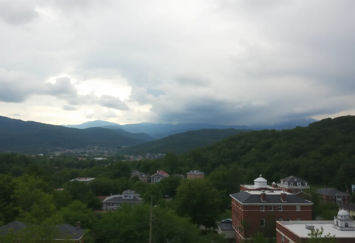
Asheville, North Carolina
Tropical Storm Imelda formed in the afternoon of Sunday, Sept. 28, positioning itself about 295 miles southeast of Cape Canaveral, Florida. The storm is currently moving north at 8 mph. Although Tropical Storm watches and warnings are in effect for most of Florida’s east coast, east of I-95, Imelda is expected to stay well offshore, significantly reducing direct impact on Western North Carolina.
Coastal areas of the Carolinas might experience some heavy rain due to Imelda. However, local impacts in Western North Carolina, particularly in Asheville, are anticipated to be minimal. The region is expected to encounter scattered showers and thunderstorms on Monday, Sept. 29, and Tuesday, Sept. 30. Winds in the foothills and the Upstate are expected to gust up to 25 mph from the northeast during this time.
Furthermore, Hurricane Humberto remains a major hurricane but is projected to remain over open waters, posing no threat to the U.S. A stalled frontal boundary is expected to drift back over the region, bringing additional showers and possible thunderstorms. The forecast for Asheville includes a 20 percent chance of showers late Monday afternoon, with highs in the mid-70s.
As rain chances increase overnight into Tuesday, scattered showers and storms are likely to continue through Tuesday afternoon. Overall temperatures are anticipated to remain a few degrees above normal, with expected highs in the mid-70s and lows around 60.
Potential Flooding Concerns
Conditions are expected to gradually improve by midweek, with sunshine returning into the weekend. However, as a cold front moves through the Southeast, there could be a flood threat from tropical moisture this weekend and next weekend. Areas in Western North Carolina, particularly Asheville, could face a level 2 flash flood threat due to the anticipated heavy rain.
Additionally, the weather system may lead to localized flooding in areas still recovering from Hurricane Helene. The possibility of heavier organized rains next week has been noted, raising concerns regarding flash flooding risks.
Summary of Key Weather Features
| Feature | Details |
|---|---|
| Formation | Tropical Storm Imelda formed on Sept. 28 |
| Location | 295 miles southeast of Cape Canaveral, FL |
| Movement | North at 8 mph |
| Impact on Western NC | Minimal with scattered showers expected |
| Expected Winds | Up to 25 mph gusts from the northeast |
| Flood Threat | Level 2 flash flood threat due to anticipated heavy rain |
| Temperature Forecast | Highs in the mid-70s, lows around 60 |
FAQ
What is the current status of Tropical Storm Imelda?
Tropical Storm Imelda formed in the afternoon of Sunday, Sept. 28. It is located about 295 miles southeast of Cape Canaveral, Florida, and moving north at 8 mph.
Will Western North Carolina be affected by Tropical Storm Imelda?
Imelda is expected to stay well offshore, reducing direct impact on Western North Carolina. Local impacts will be minimal.
What weather can be expected in Western North Carolina on Sept. 29 and 30?
The expected local impacts include scattered showers and thunderstorms for Western North Carolina and the Upstate.
Is there a flood threat due to Tropical Storm Imelda?
Areas in Western North Carolina, particularly Asheville, could face a level 2 flash flood threat due to anticipated heavy rain.
What is the temperature forecast for Asheville during this time?
Overall temperatures are expected to remain a few degrees above normal, with highs in the mid-70s and lows around 60.
Deeper Dive: News & Info About This Topic
HERE Resources
Flood Threat Looms Over the Carolinas from Cold Front and Tropical Moisture
Additional Resources
- WLOS: Tropical Storm Imelda
- Wikipedia: Tropical Storm
- 828 News Now: Imelda Tracks East
- Google Search: Tropical Storm Imelda
- Fox Weather: Tropical Moisture Southeast
- Google News: Hurricane Helene
- 828 News Now: United Way Directs Funding
- Fox Weather: Hurricane Helene Update