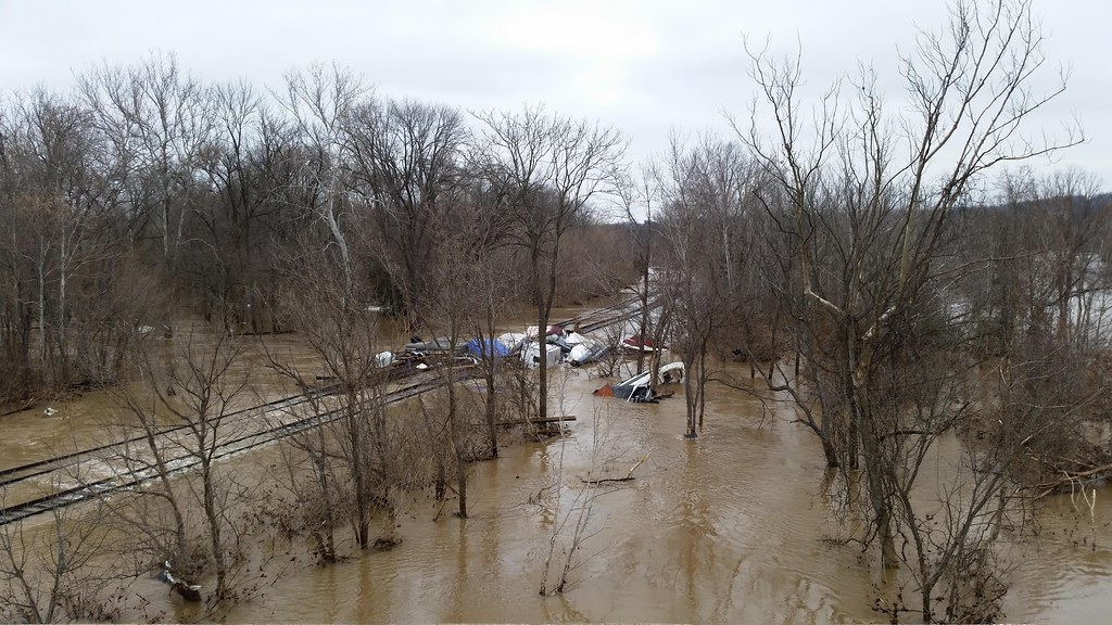
ASHEVILLE, N.C. — Western North Carolina faces a double threat this weekend as Isaias brings heavy rain and strong winds that could cause flash flooding, landslides and power outages, with Asheville and surrounding counties under a flood watch and wind alerts.
The National Weather Service issued a flood watch Friday afternoon for Asheville and 13 other mountain counties, along with a high wind warning for higher elevations and a wind advisory for lower elevations. The flood watch takes effect Saturday morning and continues through Sunday afternoon. The wind alerts begin at midnight Friday and remain in effect until 8 a.m. Sunday.
The strongest winds are expected above 3,500 feet, where gusts could reach 60 mph. Forecasters expect damaging winds to bring down trees and power lines, with widespread power outages possible in higher elevations. Lower elevations are under a wind advisory, with gusts of 45 to 50 mph expected.
A High Wind Warning covers mountains over 3,500 feet where wind gusts up to 60 mph are likely, and a Flood Watch covers parts of Buncombe, Burke, Caldwell, Haywood, Henderson, Jackson, Macon, McDowell, Mitchell, Polk, Rutherford, Transylvania and Yancey counties for potential flash flooding, local forecasts said.
Upslope flow will enhance rainfall totals along the Blue Ridge escarpment, where some areas could see 7 to 10 inches of rain and areas of flash flooding. For most areas, 2 to 3 inches of rainfall will be beneficial. Winds will be gusty Saturday and scattered power outages are possible.
Residents should secure outdoor furniture and other loose items before the winds arrive, keep phones charged, and avoid driving through flooded roads. A flood watch means conditions are favorable for flooding, but flooding is not certain. Sunday should see improving weather through the day as showers scatter in the morning and the afternoon turns partly sunny.