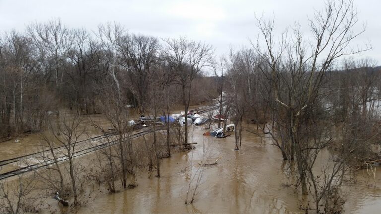
Asheville, N.C. — Remnants of Hurricane Isaias dumped torrential rain across western North Carolina overnight Saturday into Sunday, triggering flash flooding, road closures and landslides around Asheville and the nearby foothills.
Asheville Regional Airport recorded 3.81 inches of rain Saturday, a daily maximum rainfall record, the National Weather Service said. Meteorologists said several foothills areas received between 7 and 8 inches of rain, or more, after midnight into Sunday, Oct. 11.
Flash flood warnings covered several counties into Sunday morning. The French Broad River was forecast to reach minor flood stage near Blantyre and Fletcher. Drivers were told to avoid flooded roads and never attempt to drive through high water even after the heaviest rain ended.
Post-tropical Isaias also pushed heavy rain through the mountains Saturday night. Flood sirens sounded Sunday morning in the Chimney Rock area, and Rutherford County officials warned of increased releases from Lake Lure Dam along the Broad River. In McDowell County, emergency managers reported five landslides along N.C. 226 in the Woodlawn community, and more than 7 inches of rain fell overnight in Sugar Hill, Zion Hill and Crooked Creek.
A landslide in Mitchell County closed a road, officials said. Burke County emergency crews reported a water rescue on the Catawba River where people were holding onto a dock behind a school. Although rain had stopped by Sunday afternoon, lake and river levels stayed high and flooding remained a concern.
Isaias came ashore Friday night as a Category 2 hurricane and left a trail of heavy rain and tornado threats across the Southeast. Local emergency managers in western North Carolina urged residents to keep watching river forecasts around Asheville, N.C., as water worked downstream after the overnight deluge.